Skip to content
San Fermin 2026:
July 6 - 14
| Running of the Bulls tours filling fast
|
Book your spot
|
Tours
Running with Bulls
About Fiesta
San Fermín by Year
Documentaries
Bull Run Map
Testimonials
Blog
About Us
Shop
Street Stones
Uniform
Book Now
Tours
Running with Bulls
About Fiesta
Documentaries
Bull Run Map
Testimonials
Blog
About Us
Shop
Street Stones
Uniform
Book Now
About Encierro
History & Culture
The Encierro
History of the Bulls
Route & Strategy
Runner Stories
All
Search
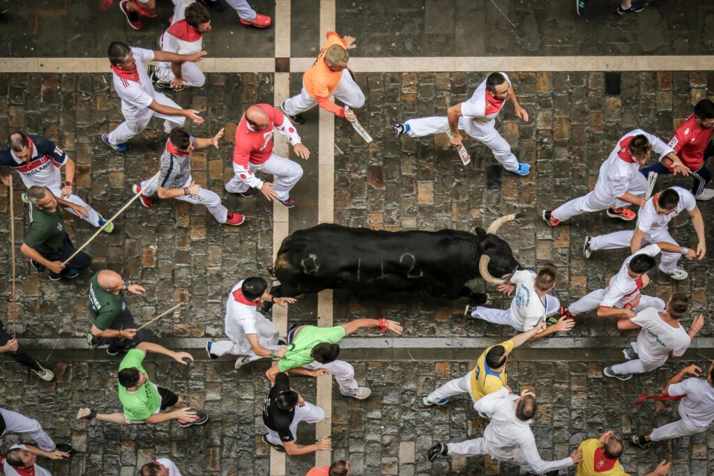
Why Standing on the Run Route Is More Dangerous Than Running
Dennis Clancey
June 21, 2026
Most people think standing on the side of Pamplona's encierro route is the safer option. Active bull runner Dennis Clancey explains why it's actually more
Continue Reading
What Happens When a Bull Stops on the Route
Dennis Clancey
March 17, 2026
Continue Reading
Elevation Changes Along the Encierro Route: A Runner’s Topographic Guide
Dennis Clancey
March 17, 2026
Continue Reading
How the Encierro Route Connects to Pamplona’s Old City
Dennis Clancey
March 17, 2026
Continue Reading
The Encierro Route at Walking Speed: A Detailed Photo Tour
Dennis Clancey
March 17, 2026
Continue Reading
Mapping Every Barrera Gap on the Encierro Route
Dennis Clancey
March 17, 2026
Continue Reading
The Difference Between Running and Standing: Positioning Strategy for the Encierro
Dennis Clancey
March 17, 2026
Continue Reading
Reading the Crowd: How Experienced Mozos Navigate Human Density
Dennis Clancey
March 17, 2026
Continue Reading
The Police and Encierro Route Security: What Runners Need to Know
Dennis Clancey
March 17, 2026
Continue Reading
<
Page
1
Page
2
Page
3
Page
4
>